


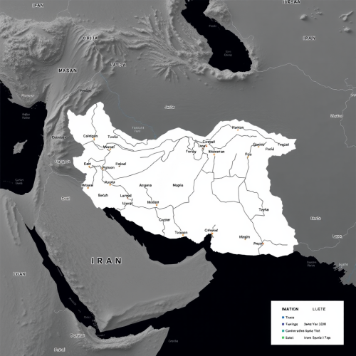
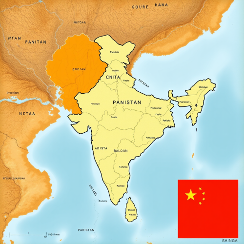
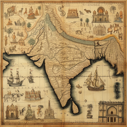
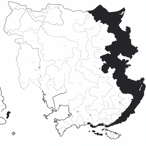
The Map of India Showcasing Pakistan and China
Prompt
India map with pakistan and china


 Download Image (SD)
 Download Image (HD)

John Parker
2Moons Basic
08/05/2025
Square 1:1
Share


License
Free to use with a link to 2moonsai.com

Similar images by community


Prompt Ideas
Create better AI images using our prompt ideas section
watercolour, design children story book illustration kids illustration childrens book cover, green and white only, faded collage mages of himalayas, indus river, cricket sports and pakistan map with white space in middle bottom
watercolour, design children story book illustration kids illustration childrens book cover, green and white only, faded collage pakistan map with white space in middle bottom

a Asian man from brunei travelling the world, he has a map that clearly marks out London, China and Hong Kong, make it fun but also hyper realistic with a Newcastle united football club vibe
doodle of a Cultural fest in india, stage in background, kids participating in events , dancing, singing, arts, volunteer, smiling, fairy lights, watercolor textures in blues and greys --ar 3:5 --s 1000


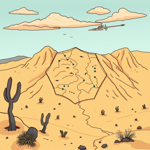
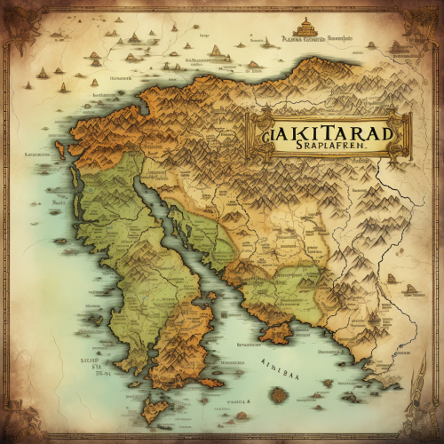
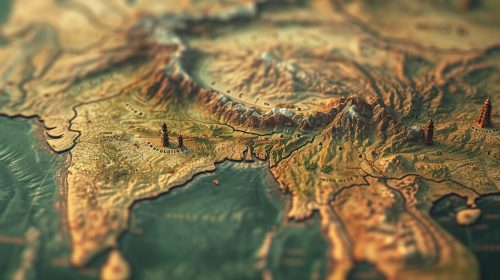
Generate a black and white line drawing map of India with the following specifications: The map should clearly demarcate the following four regions with distinct borders: Himalayan Heights: Encompassing the Himalayas, the valleys of Kashmir, the plains of Punjab and Uttar Pradesh, and extending into parts of Nepal and Bhutan. Desert Dynasties: Covering the Thar Desert, Rajasthan, and Gujarat, and extending into parts of Pakistan's Sindh region. Dravidian Depths: Including Tamil Nadu, Kerala, Karnataka, Andhra Pradesh, and extending into parts of Sri Lanka. Bengali Bays: Covering West Bengal, Odisha, the northeastern states, and incorporating parts of Bangladesh and Myanmar. The map should also display significant landmarks like the Himalayas, Thar Desert, Western Ghats, and the Bay of Bengal.


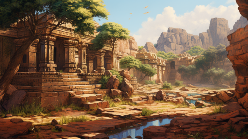
Create an image illustrating a man being exceptionally cautious with his emotions, showcasing the pressure of not crying, ancient china, bc era, hyperealistic

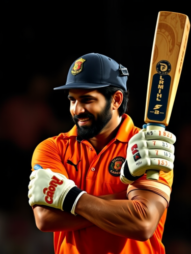
india vs pakistan cricket match, stadium filled with indian supporters, make it realistic, high quality, creative, CGI, 3D

visualize an image of Indian Subcontinent map during 1600s depicting the important places of worship for hindus and places on map of cultural hindu significance from northern india to southern India --ar 16:9 --v 6.0
visualize an image of Indian Subcontinent map during 1600s depicting the important hinduism places on map of cultural significance from nothern india to southern India full hd, 8k, cinematic --ar 16:9 --v 6.0


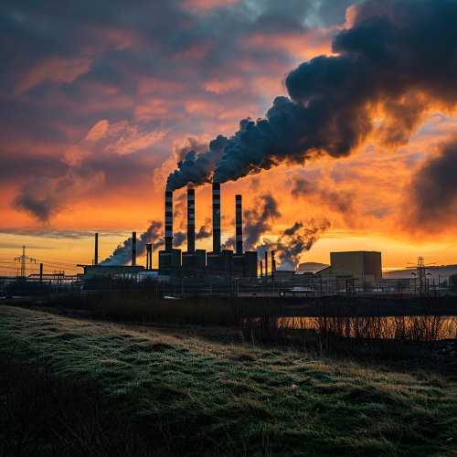
hina's CO2 emissions are set to fall in 2024 and could be facing structural decline, due to record growth in clean energy --v 6.0

View Limit Reached
Upgrade for premium prompts, full browsing, unlimited bookmarks, and more.
Get Premium
Limit Reached
Upgrade for premium prompts, full browsing, unlimited bookmarks, and more. Create up to 2000 AI images and download up to 3000 monthly
Get Premium
Become a member
Sign up to download HD images, copy & bookmark prompts.
It's absolutely FREE
 Login or Signup with Google
Become a member
Sign up to download HD images, copy & bookmark prompts.
It's absolutely FREE
Login or Signup with Google
Limit Reached
Upgrade for premium prompts, full browsing, unlimited bookmarks, and more.
Get Premium