


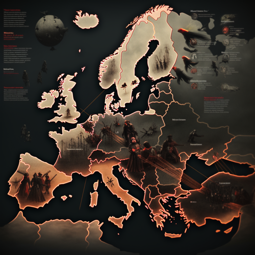
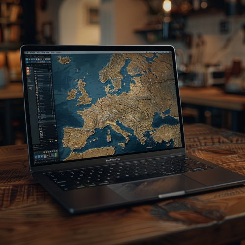
The Map of Europe Highlighting Four Countries
Prompt
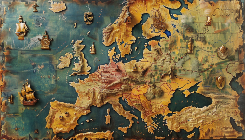
The image features a map of Europe with the countries Deutschland (Germany), Schweden (Sweden), Frankreich (France), and Polen (Poland) clearly marked.


 Download Image (SD)
 Download Image (HD)

Ina Burgstaller
2Moons Masterpiece (2K)
13/01/2025
Landscape 16:9
Share


License
Free to use with a link to 2moonsai.com

Similar images by community


Prompt Ideas
Create better AI images using our prompt ideas section
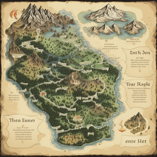
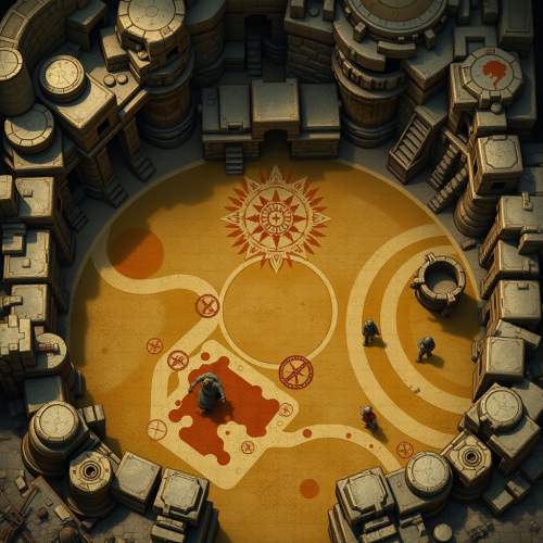
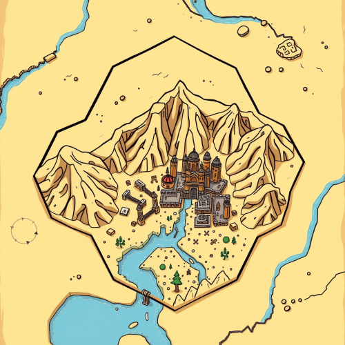
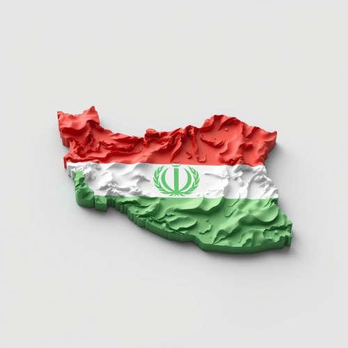
The map of the four areas, the upper left corner is the ice area, the upper right corner is the fire area, the lower left corner is the wind area, and the lower right corner is the forest area.There should be no text or labels on the pictures.
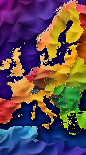
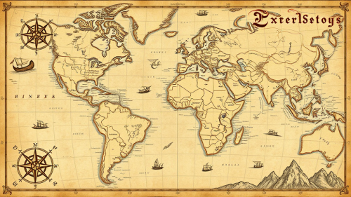
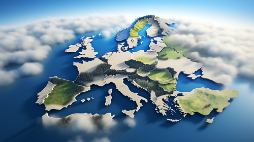
map of europe, every country on the map visible, every country has a different color, digital art, --ar 9:16
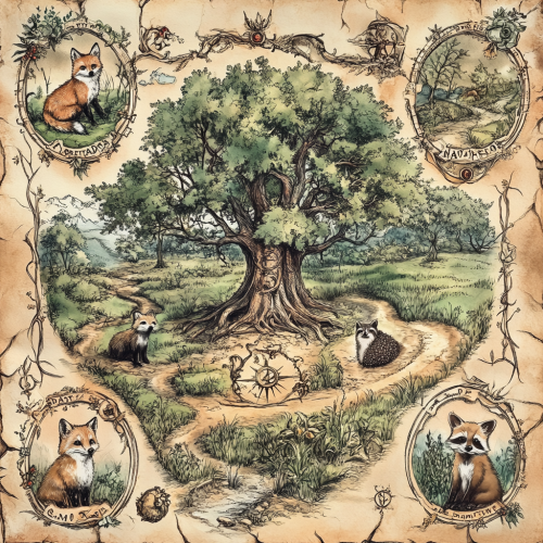
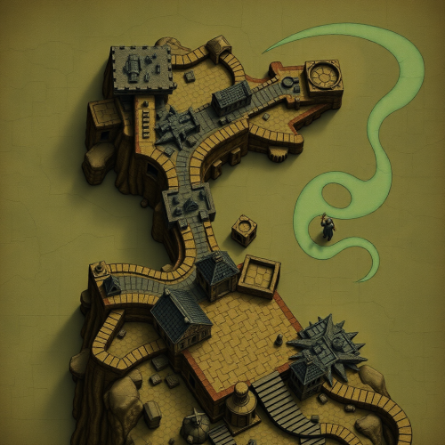
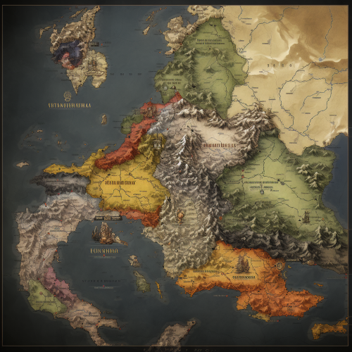
weathered victorian botanical illustration of a map of an ancient and magical woodland, in each corner there is an illustration of a fox, badger, raccoon and hedgehog. In the centre of the map is an ancient tree with magical symbols all around it
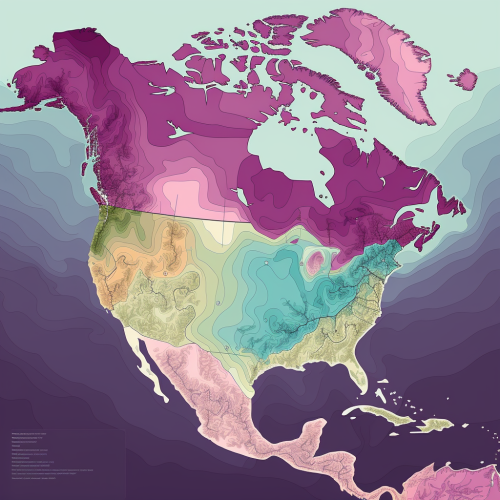
"Fabricar una representación gráfica en 2d que ilustre un mapa de América, con un énfasis especial en Colombia, México, EE. UU. y Perú, sobresaliendo en un esquema de colores de morado claro y gradientes de gris. La ilustración debe ser precisa y contener una estilización moderna, no solo geográfica sino también conceptual, con estos cuatro países iluminados y posiblemente elevados en relieve para denotar su importancia. A lo largo de los contornos y fronteras de estos países, incorporar simbología de ciberseguridad como circuitos integrados, algoritmos cifrados en forma de arte lineal, candados digitales y escudos de firewall, que no solo adornen sino que también comuniquen su fortaleza cibernética. Estos elementos deben ser integrados de tal manera que realcen la forma de cada país, sugiriendo una infraestructura digital robusta y una vigilancia activa. Por encima de esta composición, el título 'Andean Trade' debe ser impuesto con audacia y claridad, preferentemente con una fuente que evoque conectividad y seguridad digital, como si estuviera formado por una serie de microchips o circuitos, lo que refuerza el tema de la ciberseguridad. El diseño general debe transmitir una narrativa visual de interconexión y protección en el contexto del comercio andino, mostrando cómo estos países están a la vanguardia en la defensa y promoción de la seguridad en el espacio cibernético."
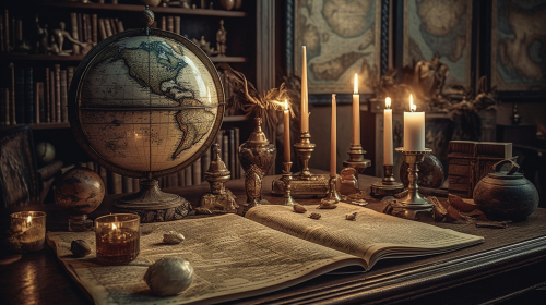
Historical map of 16th-century Europe, countries and major cities labeled in calligraphy, displayed on a grand library table with candles and an antique globe, atmosphere of intellectual curiosity and exploration, Illustration, digital art using a vintage color palette, --ar 16:9 --v 5.0 --s 750
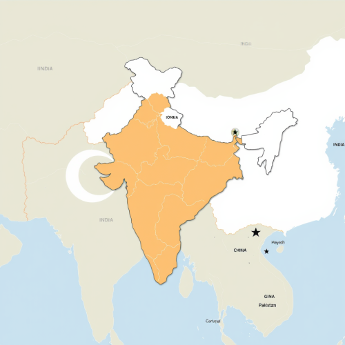
#103472 map of Europe, mark Germany, mark Czech Republic, mark Poland, mark Romania --v 6.0 --ar 7:4
A map of Europe, in the style of contemporary children's book illustration with bright colors and flowing lines
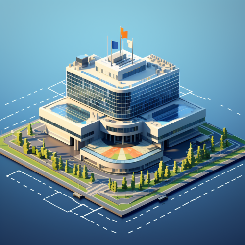
the europol headquarters building in The Hague floating on top of a map of Europe where the countries are connected by a network graph data visualization style. make the whole image 3d and use minimal design 8-bit pixel game design style. make it look like from an 8-bit pixel retro game and use cyberpunk coloring. Thank you.
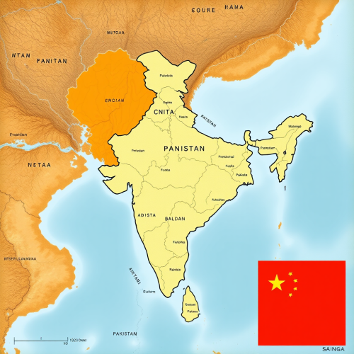
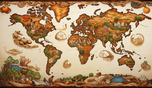
a world map that consists of all continents and major countries with traditional Chinese ink painting:: --aspect 16:9
Greater Albania on a modern day world map of Eastern Europe and the balkans
View Limit Reached
Upgrade for premium prompts, full browsing, unlimited bookmarks, and more.
Get Premium
Limit Reached
Upgrade for premium prompts, full browsing, unlimited bookmarks, and more. Create up to 2000 AI images and download up to 3000 monthly
Get Premium
Become a member
Sign up to download HD images, copy & bookmark prompts.
It's absolutely FREE
 Login or Signup with Google
Become a member
Sign up to download HD images, copy & bookmark prompts.
It's absolutely FREE
Login or Signup with Google
Limit Reached
Upgrade for premium prompts, full browsing, unlimited bookmarks, and more.
Get Premium